Forest landslide frequency, size influenced more by road building, logging than heavy rain
A long-term Pacific Northwest study of landslides, clear-cutting timber and building roads shows that forest management history has a greater impact on how often landslides occur and how severe they are compared to how much water is coursing through a watershed.
Findings of the U.S. National Science Foundation-supported research, led by Catalina Segura and Arianna Goodman of Oregon State University, were published in the journal Earth Surface Processes and Landforms. "The study highlights the importance of land-use dynamics on natural processes such as landslides," said Justin Lawrence, a program director in NSF's Division of Earth Sciences. "This team could improve the way forests are managed in the future."
Probing the factors behind landside frequency and magnitude is crucial because slides occur in all 50 states, causing an average of more than 25 deaths per year, according to the U.S. Geological Survey. The USGS puts the total annual average economic damage resulting from landslides at greater than $1 billion.
"Understanding the long-term effects of forest practices like logging and road building is critical to sustainable forest management," Segura said. "This requires observations on time scales that capture responses to past and ongoing management practices — looking at the timing of floods, landscape susceptibility to landslides, and the delivery and movement of wood."
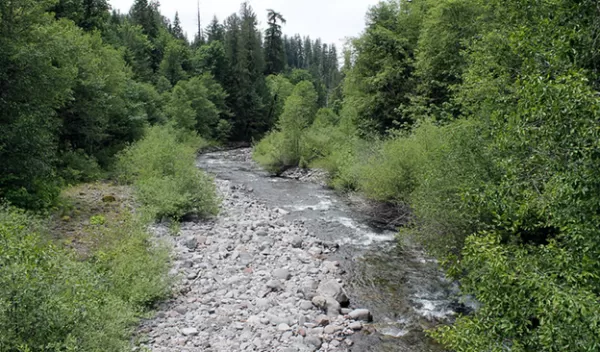
Focusing on the Lookout Creek watershed in western Oregon, the researchers examined a decades-long history of old-growth clear-cutting and associated road construction and how those practices affected flooding, landslides, big pieces of wood jamming up waterways, and channel change.
Debris flows contribute huge quantities of sediment and large wood to streams, Segura said. Those inputs control, for decades, a channel's response to large flows — the amount of erosion and deposition that takes place. Regulating the inputs are an area's history of forest practices, the natural vulnerability of a watershed to erosion and the frequency of big flood events.
The 64-square-kilometer Lookout Creek watershed is part of the H.J. Andrews Experimental Forest, an NSF Long-Term Ecological Research site. Logging and road building began in the Lookout Creek area in 1950 and largely ceased by the 1980s, enabling the scientists to track forest management practices' impact on slides and floods during and after the period of active management.
"The frequency of landslides and debris flows depended on the conditions created by management practices during prior time periods," Segura said. "Watershed responses differed among zones, as would be expected — places that were once glaciated and have broad valleys are less vulnerable to landslides and debris flows than steep terrain with weak, erodible rock."
