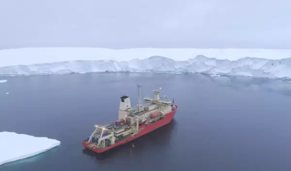
New seafloor data upend understanding of Antarctica's Thwaites Glacier
The Thwaites Glacier in West Antarctica — about the size of Florida — has been an elephant in the room for scientists trying to make global sea-level rise predictions. This massive ice stream is in a phase of fast retreat, leading to widespread concern about exactly how much, and how fast, it may give up its ice to the ocean.
The potential impact of Thwaites' retreat is chilling: A total loss of the glacier could eventually raise sea level by 2 feet.
A U.S. National Science Foundation-supported study, published in Nature Geoscience and led by marine geophysicist Alastair Graham at the University of South Florida, adds cause for concern. For the first time, scientists mapped in high-resolution a critical area of the seafloor in front of the glacier, which gives them a window into how fast Thwaites retreated and moved in the past.
The stunning imagery shows geologic features that are new to science and provide a kind of crystal ball look into Thwaites' future. The team documented more than 1,500 parallel ridges that were created, like footprints, as the glacier's leading edge retreated and bobbed up and down with the daily tides.
The rate of Thwaites' retreat is small compared to the fastest rates of change in the glacier's past, said Graham.
To understand Thwaites' past, the team analyzed a well-preserved set of 160 rib-like formations submerged 700 meters (just under a half-mile) beneath the polar ocean. When the researchers factored in the tidal cycle for the region, they showed that one rib must have been formed every day.
From this field of submerged ribs, the team deduced that at some point in the last 200 years and over a period of less than six months, the glacier retreated at a rate of more than 2.1 kilometers (1.3 miles) per year — twice the rate documented using satellites between 2011 and 2019.
"Our results suggest that pulses of very rapid retreat have occurred at Thwaites Glacier in the last two centuries, and possibly as recently as the mid-20th century," Graham said.
To collect the imagery and supporting geophysical data, the team, which included scientists from the United States, the United Kingdom and Sweden, launched a state-of-the-art robotic vehicle loaded with imaging technology from the research vessel Nathaniel B. Palmer. The effort was part of a 2019 expedition of the International Thwaites Glacier Collaboration.
"These remarkable insights enhance our understanding of the speed limit for grounding-line retreat [the region where a glacier transitions from grounded ice sheet to freely floating ice shelf]," said Paul Cutler, a program director in NSF's Office of Polar Programs. "This research delivers on the promise of the geologic record guiding us in the challenge of forecasting Thwaites Glacier's fate over the coming decades."
